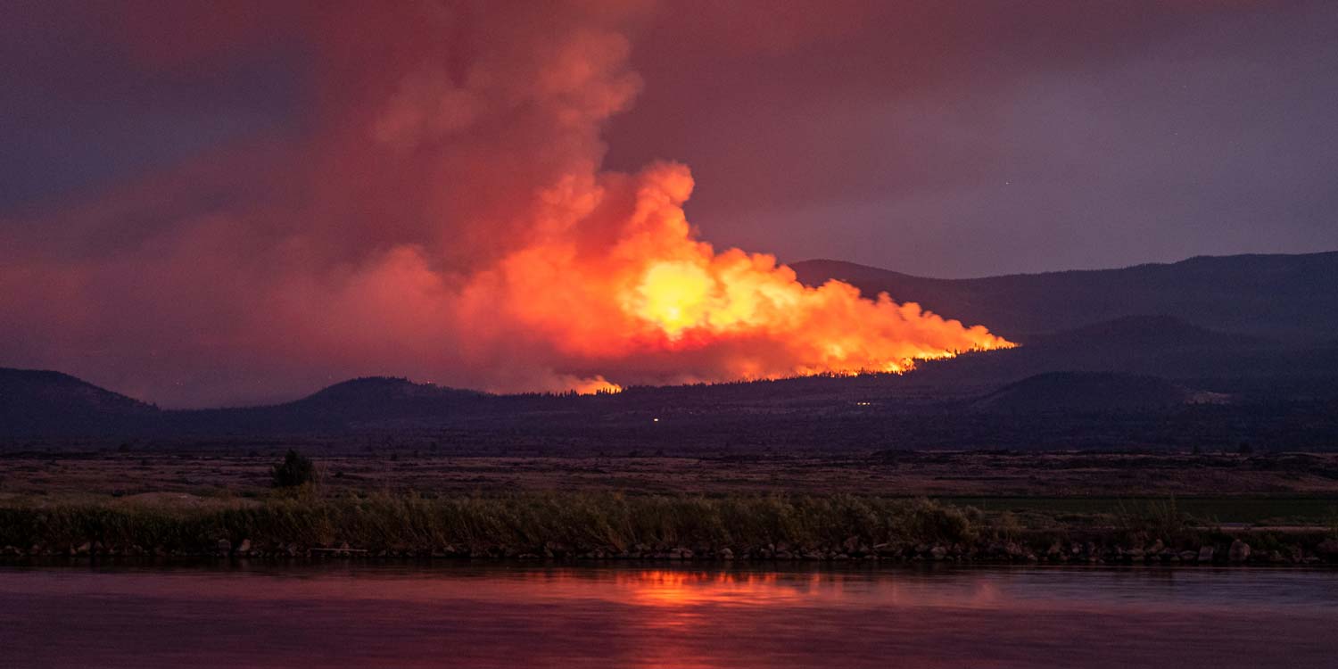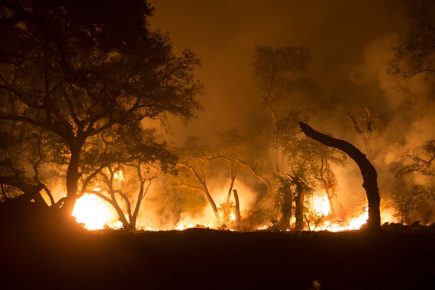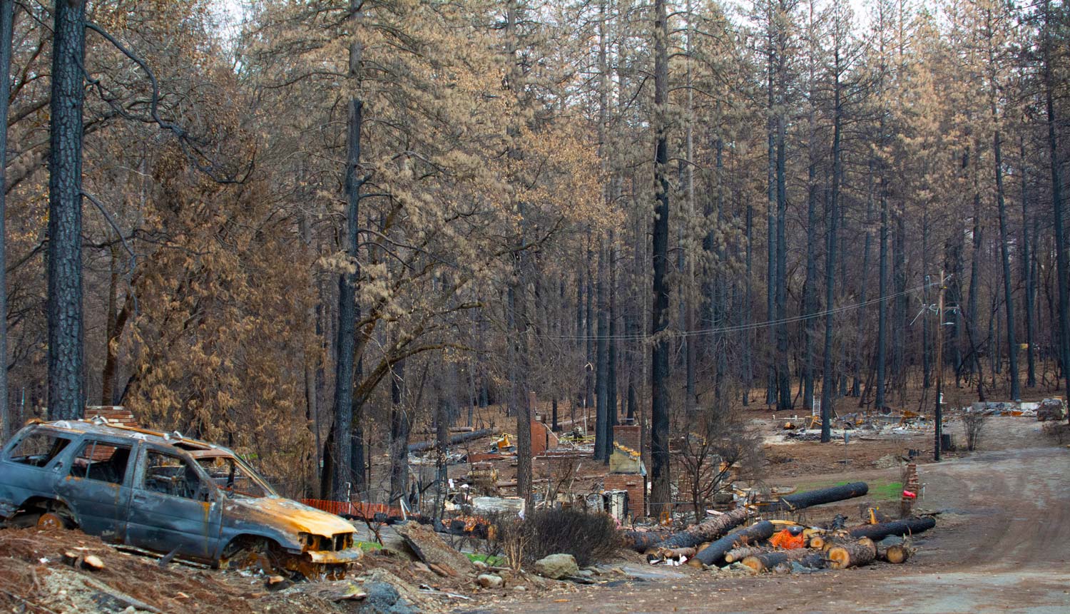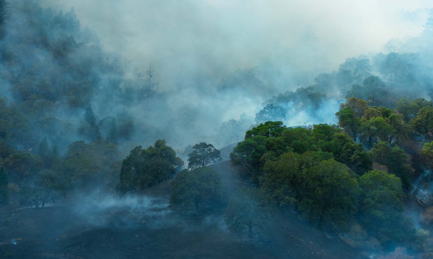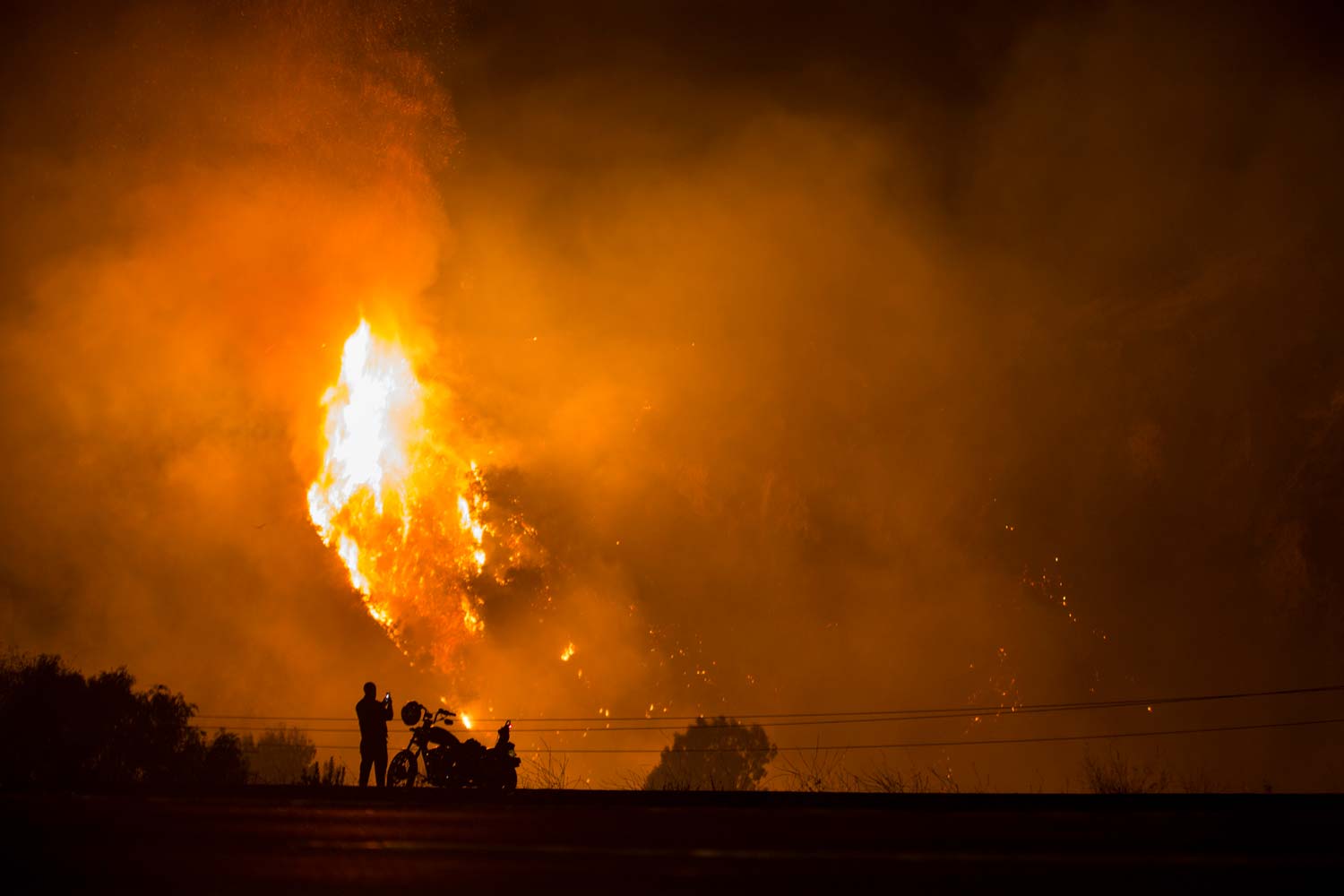
The McKinney Fire grew rapidly over its first 1.5 days, expanding over 50,000 acres in under 36 hrs, causing 4 fatalities, and producing deep convective clouds.
Open-Source Fire Science
The McKinney Fire grew rapidly over its first 1.5 days, expanding over 50,000 acres in under 36 hrs, causing 4 fatalities, and producing deep convective clouds.
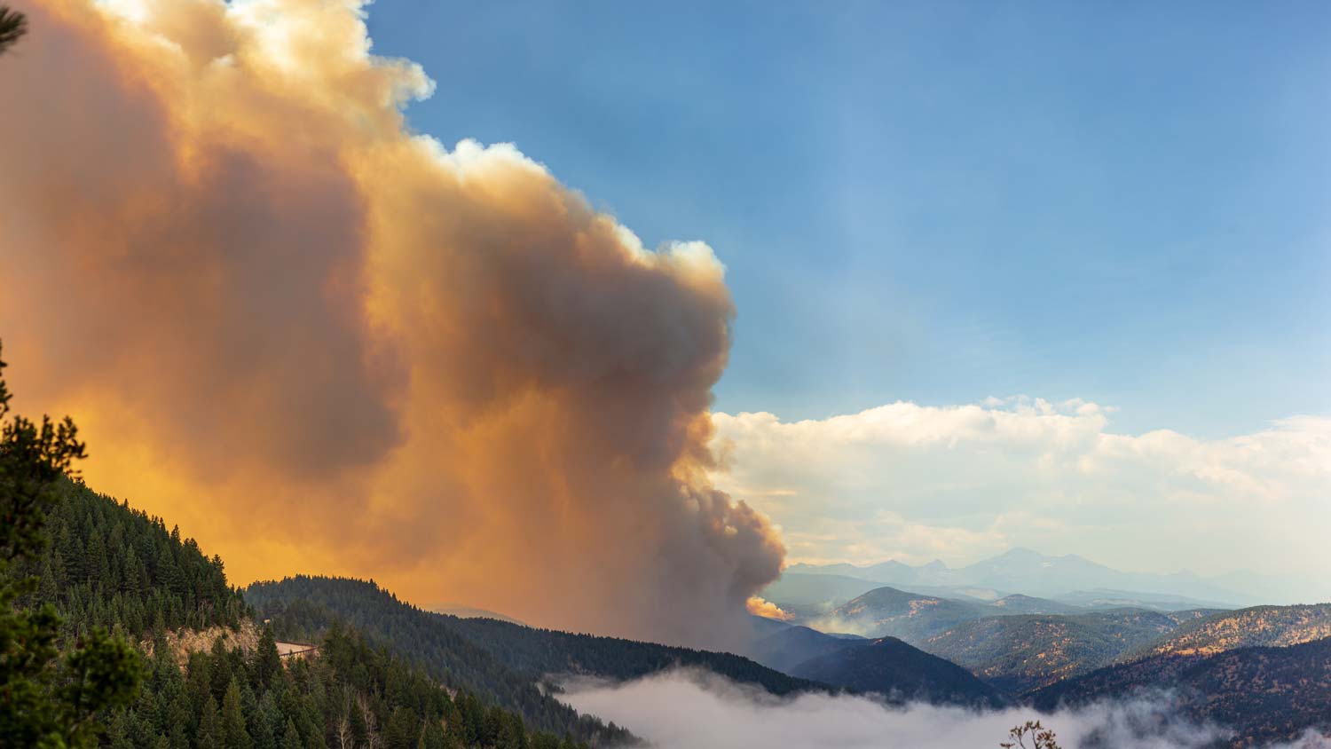
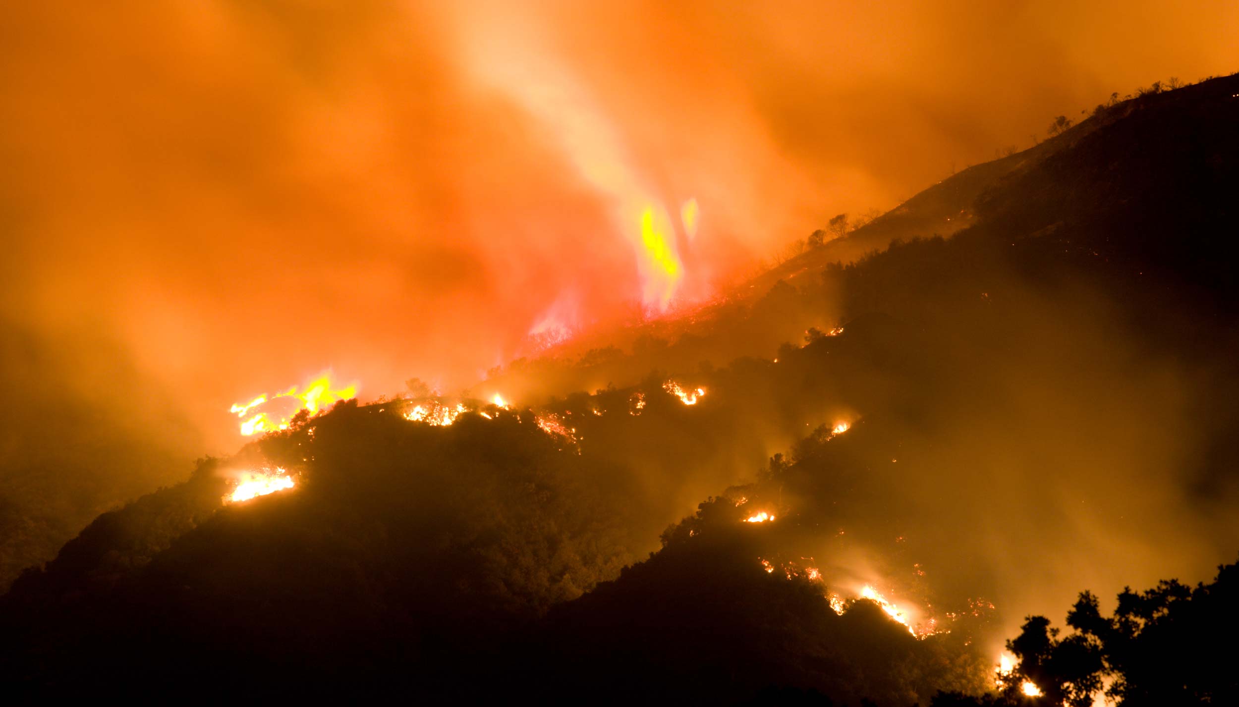
Spreading along canyons containing forks of the American River, fire activity intensified producing deep pyrocumulus clouds. September 8 contained the largest day's growth
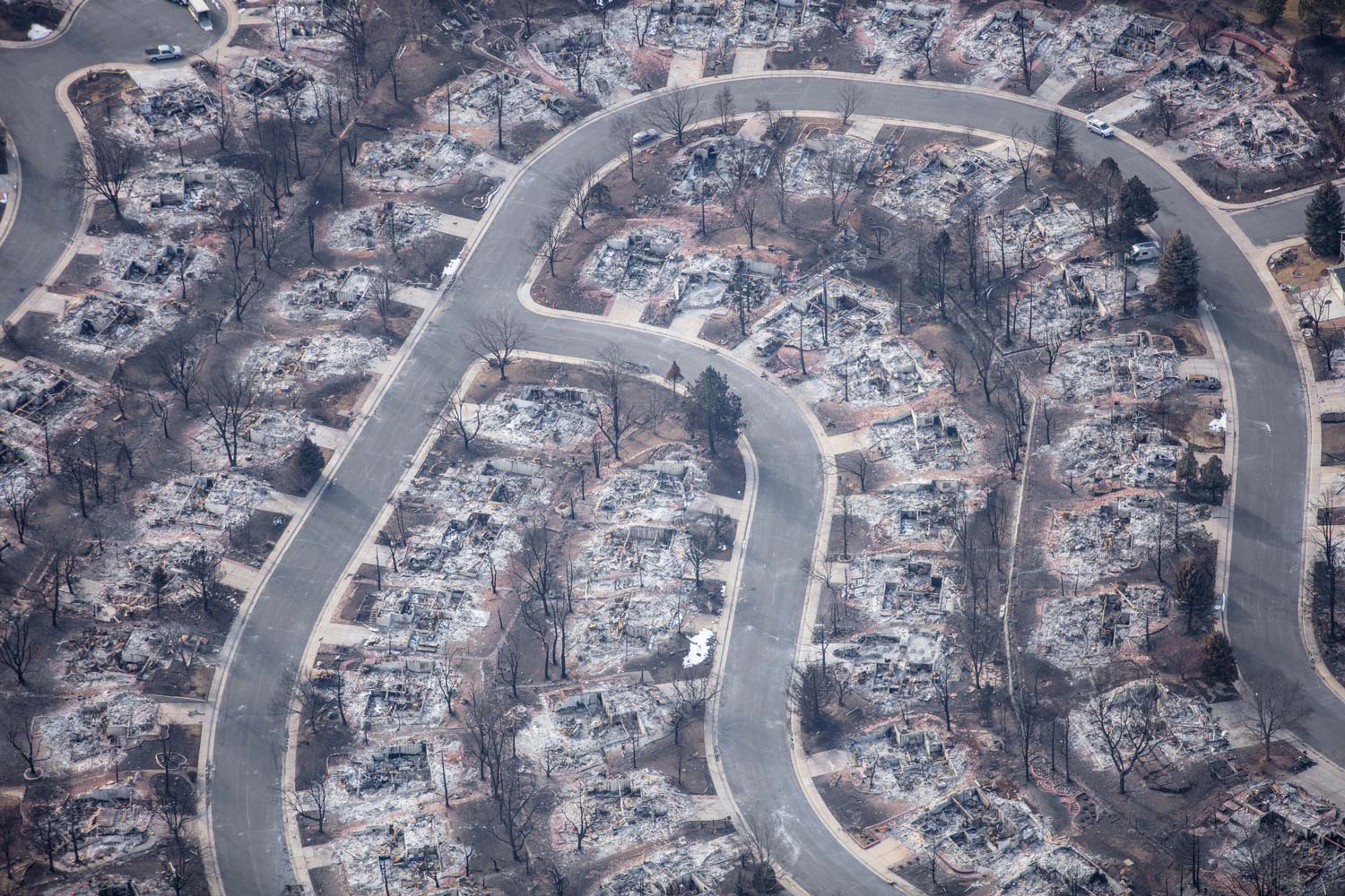
On 12/30/21, during a downslope windstorm, at least two wildfires were reported in Boulder County, Colorado. The Middle Fork Fire ignited sometime after 10 a.m. north of the city of Boulder.
The Slater Fire was one of hundreds to ignite during a strong easterly wind event impacting the western face of the Cascades and Sierras during Labor Day weekend 2020
Three days after it was reported on Oct. 14, 2020, high winds and low humidity allowed the East Troublesome to spread to over 10,000 acres.
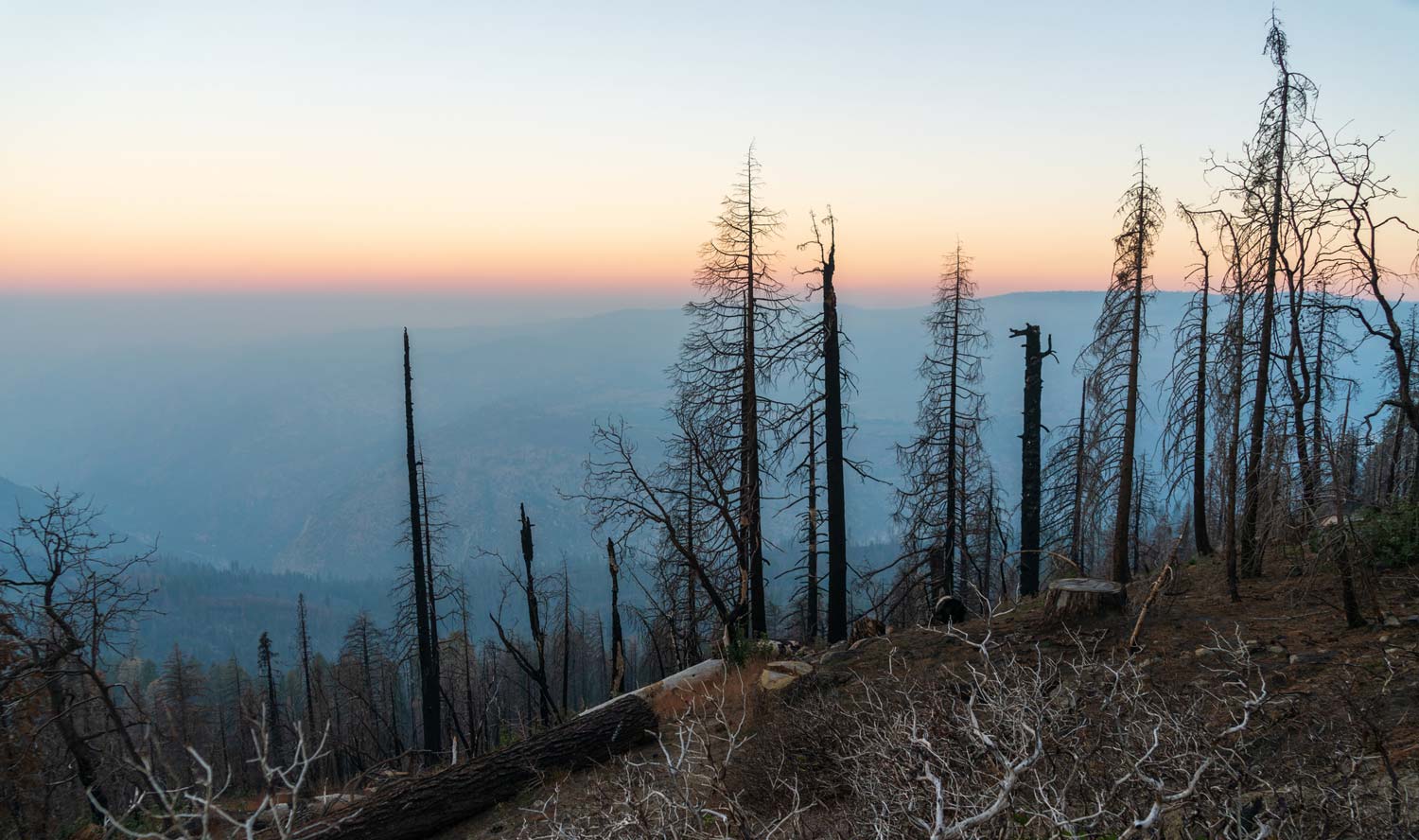
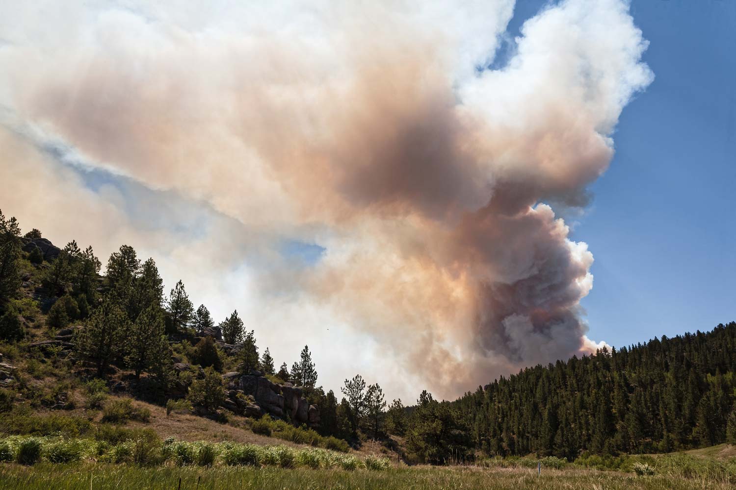
In first four days after ignition, the Creek Fire expanded 20,000-50,000 acres per day while satellite active fire detection data showed sustained active burning, indicating consumption of large fuel elements.
Following reports of an ignition near the Calwood community center, the Calwood fire ran nearly 10 km under gusty downslope winds
On its way to becoming one of the largest fires in California history, the North Complex, composed of multiple fires
On the same day as the Camp Fire, ignitions on the Santa Susanna Field Laboratory site spread rapidly under strong Santa Ana winds
Two ignitions during a strong, long-duration Santa Ana wind event set off the Thomas Fire. During the initial run, the two ignitions merged and the fire
On November 8, a strong Diablo wind event created strong winds over the Sierra Nevada Mountains, with locally strong winds near the Jarbo Gap and Feather River Canyon.
The Carr Fire, having been driven eastward and down toward the central valley by westerlies across the coastal range, created several fire whirls
Here, we applied CAWFE to investigate the flow regime and underlying mechanisms associated with the extreme winds and fire behavior during the Tubbs Fire.
On October 8-9, 2017, fourteen large wildfires developed rapidly during a strong Diablo wind event in northern California including the Redwood Valley Fire.
The Chimney Tops 2 Fire was one of several fires that burned in North Carolina and Tennessee during a very dry fall in the Appalachian Mountains.
The King Fire was ignited at 6:37 PM on Sept. 13, 2014, spread during a severe drought in the central Sierra Nevada mountain range
The Rim Fire was a massive plume-driven wildfire that experienced days of over 37,000 and 51,000 acres
On June 30, 2013, 19 firefighters were killed during the Yarnell Hill fire, when a gust front from the northeast blew across the fire, changing its direction
The High Park fire is reported to have been ignited by lightning strike. It grew rapidly during a Colorado Front Range downslope
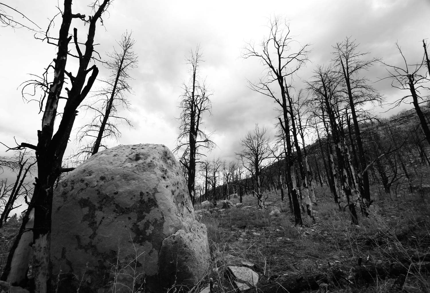
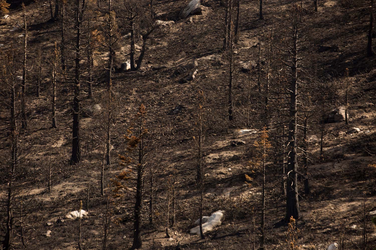
The Little Bear Fire was ignited by lightning strike in the Sierra Blanco Mountains of New Mexico. It burned 17,939 ha (44,330 ac) and 254 buildings
The Esperanza fire was ignited on the upwind edge of the San Jacinto mountains during dry, windy Santa Ana conditions.
The Witch Creek Fire, followed by the McCoy and Guejito fire ignitions (included here), were part of a late October southern California outbreak driven by a strong Santa Ana wind event
The Carr Fire, having been driven eastward and down toward the central valley by westerlies across the coastal range, created several fire whirls